

















Comprehensive OpenAPI documentation
An up-to-date OpenAPI specification is available for every service, providing a convenient basis for quick orientation, code generation, and integration into modern toolchains.
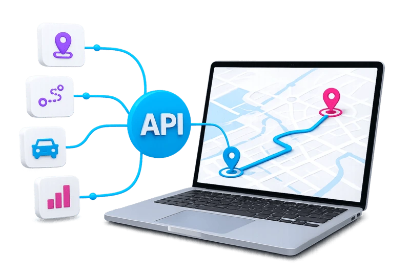
With MAPSERVICES, you can integrate powerful API services for maps, routing, traffic, optimization, and location data directly into your software. This makes logistics data, routes, and planning processes a seamless part of your application.
Integrate directly
Connect MAPSERVICES to TMS, ERP systems, portals, or your own platforms and add logistics functions to existing applications as needed.
Expand flexibly
Start with a single API service and add further functions as new requirements arise.
Use proven logic
Use the same routing and optimization logic as PLANTOUR and PASS MAPS—without having to develop your own logistics functions.

MAPSERVICES includes a range of API services for common logistics planning tasks. This overview shows which functions are available for data, maps, planning, and operational processes.
Would you like to know which services fit your process? We will show you which functions are useful for your use case and what the first steps could look like.
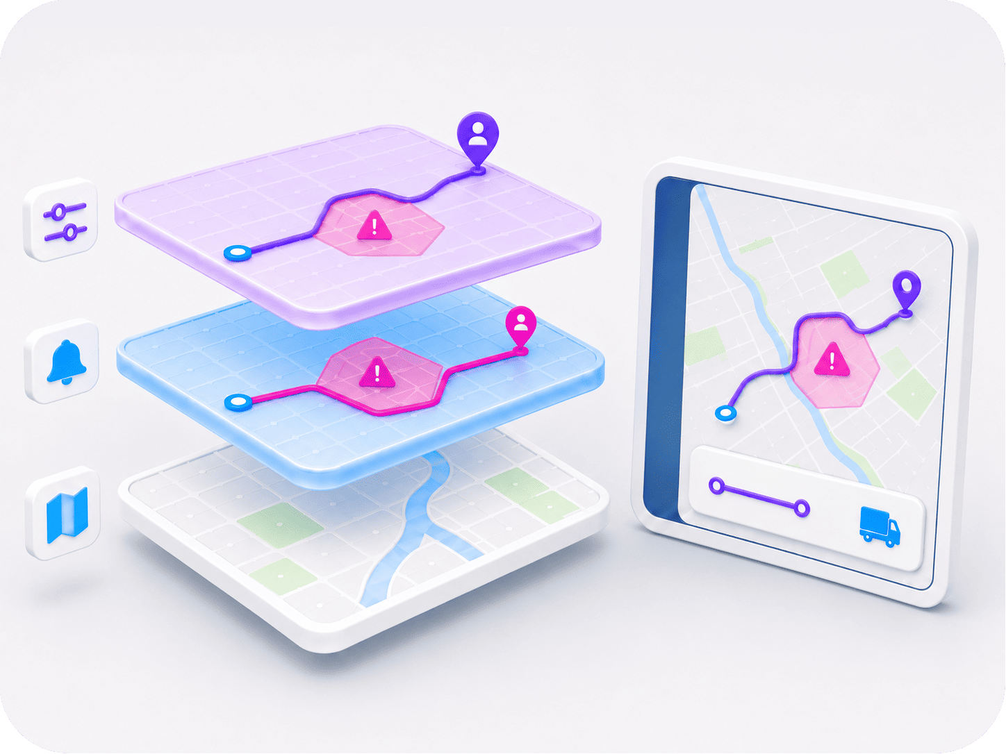
Reliable planning starts with a dependable data foundation. MAPSERVICES combines professional map data, up-to-date traffic information, and customer-specific adjustments in a multi-layer approach.
Individual road closures, restrictions, or speed limits can be maintained on a customer-specific basis and are visible only to the respective customer.
Road closures, construction zones, and traffic conditions are integrated daily and automatically considered in routing and ETA calculations.
Professional map data from TomTom, enhanced for logistics requirements and regularly updated.
The truck routing API provides a reliable foundation for digital logistics processes, from planning through to operations.
Each service performs a clearly defined task and can be used exactly where it is needed within the relevant process.
Operated in a controlled European cloud environment with clear data protection and security standards.
Suitable for small fleets from five vehicles through to several thousand vehicles.
Benefit from high hosting standards and stable, reliable operation.


“PLANTOUR is a great support for our service teams and project management. We had extensive and very specific requirements for our route planning and, together with PASS Software, were able to sustainably solve a central and important challenge for our business.”


“Unlike in the past, we can now monitor every single pallet and allocate services down to the cent. At the end of the year, this naturally enables a completely different level of benchmarking.”


“PLANTOUR has been accepted by the dispatchers. For Steelcase, the decision was the right one, as the investment paid for itself within one year. Transport costs of €250,000 are saved year after year.”


“With the PLANTOUR route planning system, the bakery Harry Brot GmbH improves its delivery punctuality and shortens routes: the optimized routes save 30 to 90 minutes per route and day.”
Documentation, tutorials, and demo access are available to help you get started. This allows developers and IT teams to explore the services, test their first requests, and prepare initial prototypes.
An up-to-date OpenAPI specification is available for every service, providing a convenient basis for quick orientation, code generation, and integration into modern toolchains.

Our helpdesk portal guides you through the first integration steps, including common integration patterns, authentication, request structures, and best practices.

A demo account can be requested online and provides direct access to selected services, making it ideal for testing, evaluation, and prototyping.
What are MAPSERVICES?
MAPSERVICES provide logistics-related mapping, geocoding, routing and planning functions via application programming interfaces. Companies can integrate these functions directly into their own applications and processes without having to develop and operate a complete mapping and routing technology themselves.
Which functions are available through MAPSERVICES?
Depending on the service used, addresses can be geocoded, routes calculated, distances and travel times determined, or logistics planning functions integrated into existing applications. The specific range of functions is configured to suit the respective use case.
Which systems are MAPSERVICES suitable for?
MAPSERVICES can be integrated into ERP systems, transport management systems, dispatching solutions, customer portals, mobile applications or custom logistics software. They are particularly suitable when mapping and routing functions are intended to become part of an existing application.
Do MAPSERVICES also support truck-specific routing?
Yes. In addition to the road network, vehicle- and transport-specific requirements can be taken into account when calculating routes. These include dimensions, weight, access restrictions and other road attributes relevant to freight transport.
What is the difference between MAPSERVICES, PASS MAPS and PLANTOUR?
MAPSERVICES provide functions via APIs for integration into existing systems. PASS MAPS offers browser-based access to selected mapping, routing, planning and monitoring functions. PLANTOUR is the comprehensive solution for advanced route planning, optimization and operational dispatching.
How much effort is required to integrate MAPSERVICES?
The integration effort depends on the required range of functions and the existing system environment. The services are accessed via documented interfaces and can be integrated into existing applications step by step. PASS supports customers with consulting and documentation during the planning, technical integration and implementation phases.